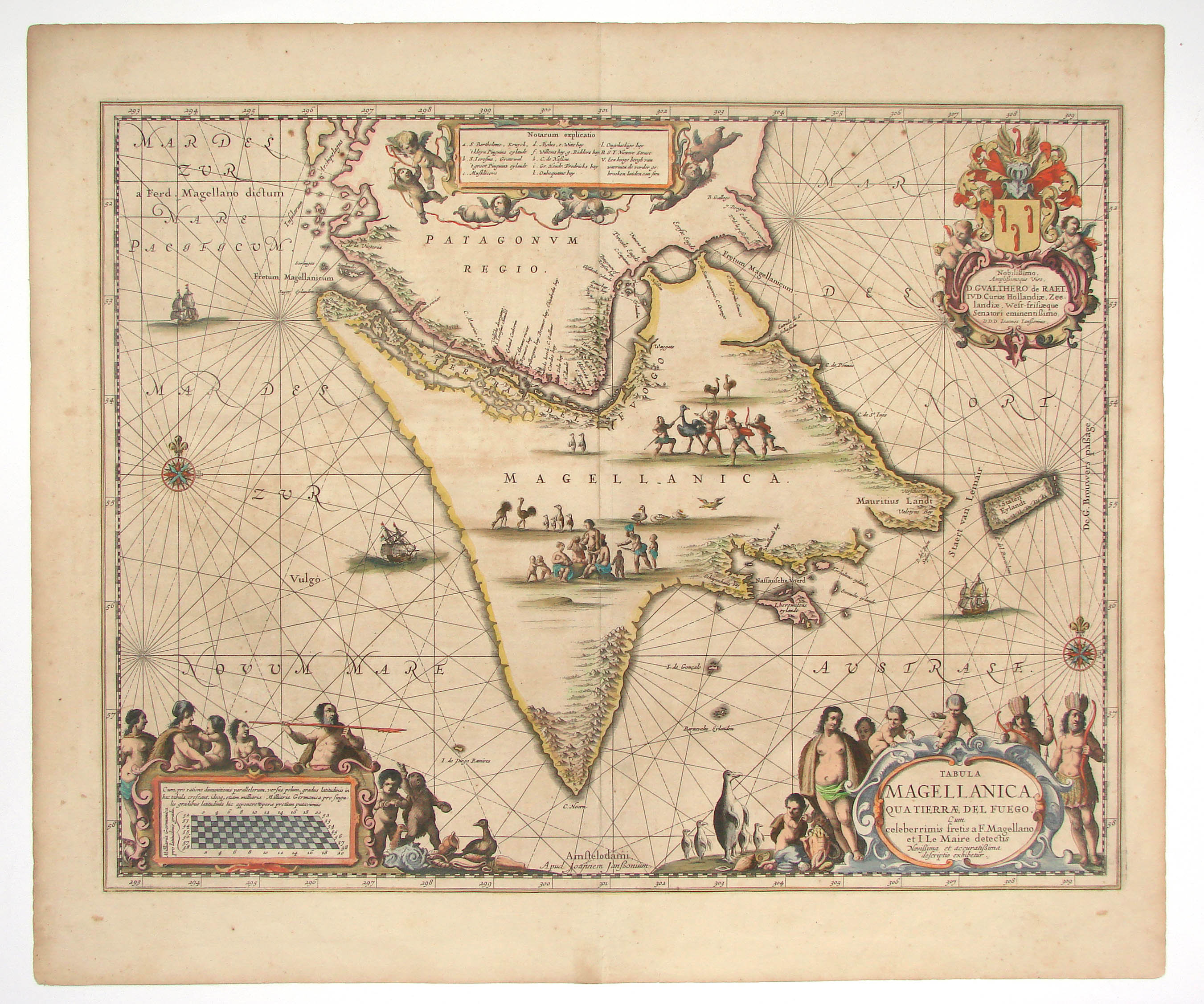
Mitre Peninsula on:
[Wikipedia]
[Google]
[Amazon]


 Mitre Peninsula is the easternmost part of


 Mitre Peninsula is the easternmost part of
 Isla Grande de Tierra del Fuego
Isla Grande de Tierra del Fuego (English: ''Big Island of the Land of Fire'') also formerly ''Isla de Xátiva''Cabo San Diego, 29 km northwest of
A former settlement is Bahía Thetis, on the namesake bay five kilometers west of Cabo San Diego. There is a lighthouse at Cabo San Diego (Cabo San Diego Light), established in 1934, and another one at Cabo San Pio (Cabo San Pio Light, established in 1919. Both are still in operation. In the south of the peninsula are the southernmost
Isla de los Estados
Isla de los Estados (English: Staten Island, from the Dutch ''Stateneiland'') is an Argentine island that lies off the eastern extremity of Tierra del Fuego, from which it is separated by the Le Maire Strait. It was named after the Netherlands ...
, from which it is separated by Le Maire Strait
The Le Maire Strait (''Estrecho de le Maire'') (also the Straits Lemaire) is a sea passage between Isla de los Estados and the eastern extremity of the Argentine portion of Tierra del Fuego.
History
Jacob Le Maire and Willem Schouten disc ...
. In the south, the peninsula is bounded by the Beagle Channel
Beagle Channel (; Yahgan: ''Onašaga'') is a strait in the Tierra del Fuego Archipelago, on the extreme southern tip of South America between Chile and Argentina. The channel separates the larger main island of Isla Grande de Tierra del Fuego f ...
, and in the north by the Argentine Sea
The Argentine Sea ( es, Mar Argentino) is a marginal sea of the Atlantic Ocean adjacent to the southern tip of South America. It ranges from the mouth of the estuary of the Río de la Plata in the north (35th parallel south) to the Isla de los ...
. It is under 4000 km2 in area. The highest peak is Cerro Campana in the southern Montes Negros range with 1026 meters. Monte Atocha is nearby southwest.
The peninsula was named by explorer Julio Popper to honor Bartolomé Mitre.
The area is part of Ushuaia
Ushuaia ( , ) is the capital of Tierra del Fuego, Antártida e Islas del Atlántico Sur Province, Argentina. With a population of nearly 75,000 and a location below the 54th parallel south latitude, Ushuaia claims the title of world's souther ...
municipality and department of Tierra del Fuego Province (Argentina). The only settlements (all estancia
An estancia is a large, private plot of land used for farming or raising cattle or sheep. Estancias in the southern South American grasslands, the ''pampas'', have historically been estates used to raise livestock, such as cattle or sheep. In Pu ...
s) are Estancia Policarpo on the north coast (on Policarpo River), Estancia Bahía Aguirre (southwest coast), Estancia Bahía Sloggett (further west), and Estancia Puerto Rancho (close to the southernmost point of the island, Cabo San PioA former settlement is Bahía Thetis, on the namesake bay five kilometers west of Cabo San Diego. There is a lighthouse at Cabo San Diego (Cabo San Diego Light), established in 1934, and another one at Cabo San Pio (Cabo San Pio Light, established in 1919. Both are still in operation. In the south of the peninsula are the southernmost
cave
A cave or cavern is a natural void in the ground, specifically a space large enough for a human to enter. Caves often form by the weathering of rock and often extend deep underground. The word ''cave'' can refer to smaller openings such as sea ...
s of the world.
Formerly, the area was inhabited by the indigenous
Indigenous may refer to:
*Indigenous peoples
*Indigenous (ecology), presence in a region as the result of only natural processes, with no human intervention
*Indigenous (band), an American blues-rock band
*Indigenous (horse), a Hong Kong racehorse ...
Haush
The Haush or Manek'enk were an indigenous people who lived on the Mitre Peninsula of the Isla Grande de Tierra del Fuego. They were related culturally and linguistically to the Ona or Selk'nam people who also lived on the Isla Grande de Tierra ...
and Selknam Selknam or Selk'nam may refer to:
*Selk'nam people
The Selk'nam, also known as the Onawo or Ona people, are an indigenous people in the Patagonian region of southern Argentina and Chile, including the Tierra del Fuego islands. They were one ...
.
Two roads approach the peninsula from the west, but only the northern one enters it: Road 24CA, from northwest, running along the north coast until Estancia Maria Luisa, followed by a trail until Estancia Policarpo, and Road 24CJ, along the south coast until Estancia Harberton. Both roads are branching east from National Route 3, which runs north–south west of the peninsula. Road 24CJ is the direction of Ushuaia
Ushuaia ( , ) is the capital of Tierra del Fuego, Antártida e Islas del Atlántico Sur Province, Argentina. With a population of nearly 75,000 and a location below the 54th parallel south latitude, Ushuaia claims the title of world's souther ...
, and 24CA of Río Grande
The Rio Grande ( and ), known in Mexico as the Río Bravo del Norte or simply the Río Bravo, is one of the principal rivers (along with the Colorado River) in the southwestern United States and in northern Mexico.
The length of the Rio ...
.http://www.alconet.com.ar/pais/mapas/TierraDelFuego.gif
References
Isla Grande de Tierra del Fuego Peninsulas of Argentina {{TierradelFuegoAR-geo-stub